Precision Drone Inspections & Aerial Imaging for Confident Decisions
About GroundScan Property Solutions
GroundScan Property Solutions (GPS) delivers modern, data-driven property and site services with precision and reliability. We specialize in drone inspections, aerial imaging, and mapping solutions that help property owners, builders, and real estate professionals gain a clearer, more complete view of their projects. By combining advanced drone technology with real-world field experience, we provide accurate visuals and actionable insights that support confident decision-making.
Our services cover real estate media, construction progress tracking, and detailed property and infrastructure inspections, ensuring consistent, high-quality results across every project. From capturing MLS-ready aerial imagery and cinematic video tours to documenting site progress and conducting roof and utility inspections, our work is built on safety, efficiency, and attention to detail. GroundScan continues to expand its capabilities by integrating advanced tools like thermal imaging and FPV cinematic capture, delivering reliable, forward-thinking solutions for evolving industry needs.
Our Services
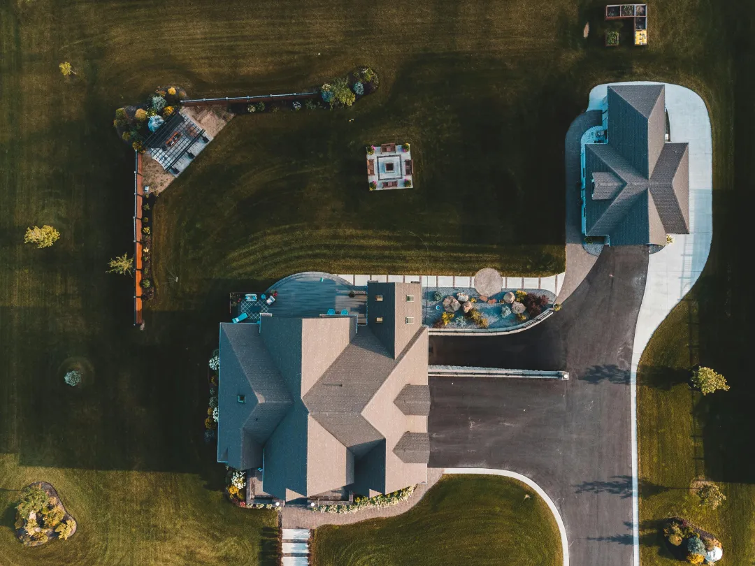
Real Estate Media & Marketing
Aerial photography, cinematic drone tours, FPV interior fly-throughs, and social media content designed to showcase properties with high-impact visuals that attract buyers and elevate listings.
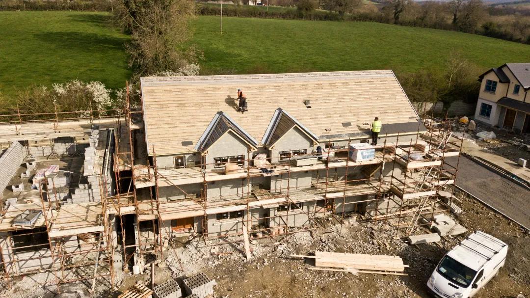
Construction & Property Inspections
Roof and exterior inspections, construction progress documentation, before-and-after comparisons, and detailed reporting that provide clear, reliable insights for property owners and project stakeholders.
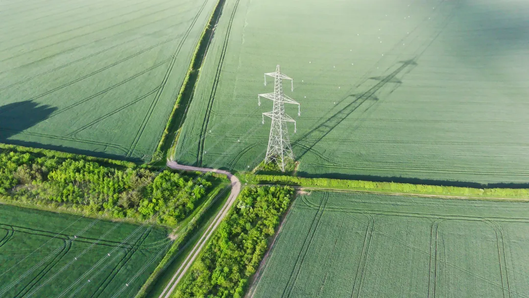
Infrastructure & Advanced Imaging
Utility and infrastructure inspections including power lines and vegetation analysis, enhanced with thermal imaging for leak detection, electrical hotspots, and energy efficiency insights.